The other fun factors were oppressive heat and road choices. How did i plan this route? Yep you guessed it just off a map...almost got me yet again. This time it wasn't the distance, but the quality. Let us not confuse a "road" with a river bed. Evidently the MA State forest funding isn't there anymore. Their roads were questionable at best. Descending at 40mph is cool, some moss might raise a few eyebrows, but doable. The cake is taken by the 10x10ft sections of road that appear to be MISSING. Now those were the 'good roads'. The previous 5miles was something you'd want a raised up 4x4 to bomb down. I did it on my mud slinging skinnies.
Planned route, but add 10miles on for being lost:

Figured I'd do a handle bar shot for you blog freaks:

Now i've seen a lot of things crawling on the road, but this is a first:

First sign it was going to be a fun day, obviously it has no business being closed. Good CX practice if you wanted to have at it.:

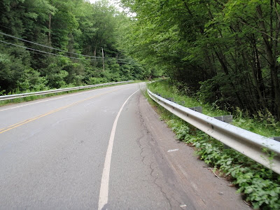
Nice dirt roads in MA, or so i thought...Beartown State Forest would prove me wrong:
 Mt hunger tried to om nom nom nom my tires on the descent. Saying it had some rain erosion would be putting it nicely. First sign that maybe dirt roads are hit or miss here. Beartown still awaits.:
If you ever see this in MA, turn around, no roads are bike able. Just my luck i saw this after I came out of the "oh shit i don't think I'm going to make it out of here" 5miles of road. Then I started the moss covered washed out roads which were paved.:

Let us not forget the ever present pile of crap that comes out of your pockets post ride:

Adam with low blood sugar / high eyes:

Being lost affords you the "hell with it" time to take a quick panoramic of the country side:

All in all not a bad day, just not enough food to get back what the heat took from me.
:::ride stats:::
ride time: 4:26:19
distance: 71.35 miles
lost dist: ~10 miles
time reading directions and scratching head: 30min
time riding on restricted access roads: 15min